Erin Atkinson, Tetra Tech’s deputy program manager for humanitarian mine action (HMA), explains how using aerial photogrammetry to create 3D models for post-conflict recovery at World Heritage sites can improve team safety, optimize operations and visibility, and enhance stakeholder coordination.
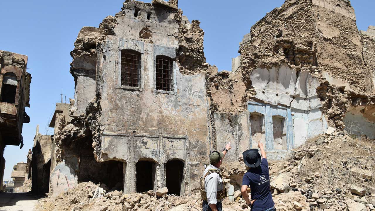
Under the 2014–2017 Islamic State of Iraq and Syria (ISIS) occupation, the Old City of Mosul, Iraq, weathered widespread devastation from systematic violence and close-quarter combat. Starting in 2021, Tetra Tech began working with the Iraq Directorate of Mine Action, the Iraqi State Bureau of Antiquities and Heritage, and the International Alliance for the Protection of Heritage in Conflict Areas on behalf of the U.S. Department of State to survey, clear, and help revive the historic city.
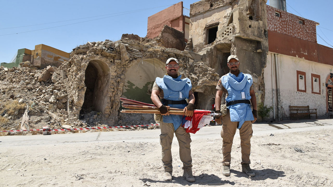
In recognition of your outstanding efforts in the completion of the humanitarian mine action in Nineveh province, your dedication and hard work have helped with the returning of displaced people as well as providing high quality services to facilitate the stability process in our province.
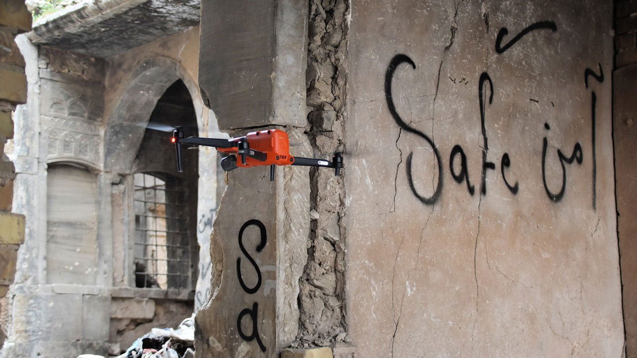
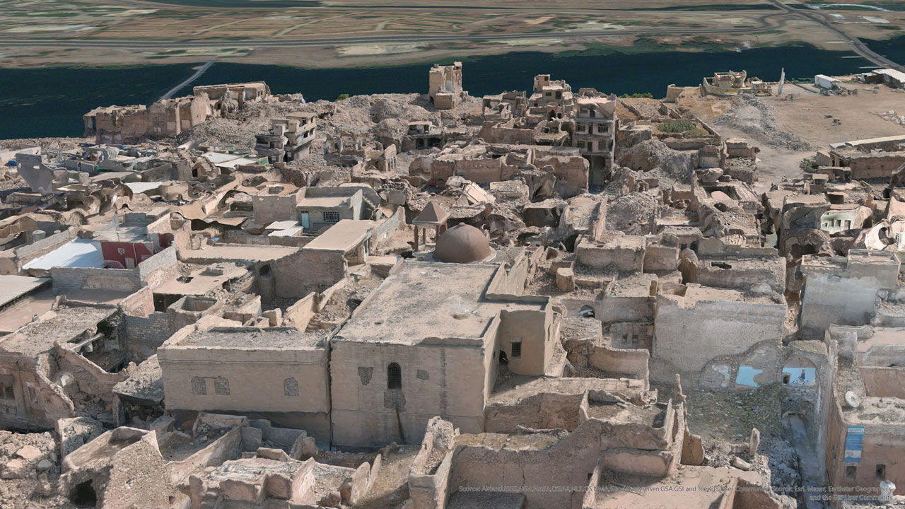
Tetra Tech needed to clear the Old City of Mosul efficiently, effectively, and safely—a technically challenging task—while protecting the city’s rich cultural history. We created a 3D model using aerial photogrammetry to quantify and visualize the scope and scale of the project. The model enabled Tetra Tech to remotely characterize damaged buildings, measure street widths with precision, and establish visibility into areas beyond the safe reach of cleared pathways—often only wide enough for a pair of feet. The model also helped our teams identify where internally displaced persons started to return home after government-run displacement camps closed in 2021 and prioritize areas and families to receive explosive ordnance risk education.
This discusses how Tetra Tech leveraged 3D modeling to create a phased, data-driven site clearance plan for the Old City of Mosul, including two of its many historic and culturally significant properties, the Al-Masfi Mosque and Al Tahera Church. Using this approach, our team learned that 3D modeling can:
- Expedite clearance planning and operations in urban post-conflict zones
- Improve the precision and value of hazard documentation
- Help actors in the HMA space mind, protect, and welcome economic opportunity back to communities with cultural heritage sites
“Reviving Old Mosul: 3D Modeling Aids Safe Clearance in Iraq,” which was published by the James Madison University, Center for International Stabilization and Recovery.
About the author
Erin Atkinson
Erin Atkinson is a Tetra Tech project manager and geophysicist with more than 15 years of experience in munitions response on projects both in the continental United States (CONUS) and outside the continental United States (OCONUS).
Since 2019 she has managed the U.S. Department of State’s Worldwide Weapons Destruction Support Services Task Order in Iraq, providing humanitarian mine action services across the country. She has degrees in archaeology, geography, and environmental science from the University of Texas at Austin and sits on the United Nations’ International Mine Action Standards (IMAS) review board.


